Price:
6681 EUR
Contact
Austria
Karlsplatz 13, Vienna , 1040, Vienna, Austria
https://www.tuwien.at/en/studies/studies/bachelor-programmes/geodesy-and-geoinformation
Karlsplatz 13, Vienna , 1040, Vienna, Austria
https://www.tuwien.at/en/studies/studies/bachelor-programmes/geodesy-and-geoinformation
Description
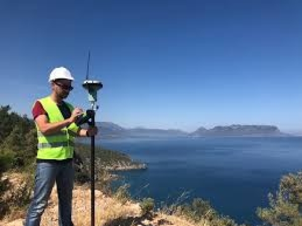
Geodesy is the science of measuring and mapping the earth's surface. It includes the determination of the geometric figure of the Earth (including the seabed), its gravitational field and the orientation of the Earth in space. On the one hand, geodesy is the link between astronomy and geophysics; on the other hand, many geodetic measurement methods belong to the engineering sciences.
Geoinformation deals with the nature and function of geographical information and its representation and communication in the form of maps and interactive cartographic information systems.
The Bachelor's Programme "Geodesy and Geoinformatics" offers a practice-oriented range of courses in applied geodesy and geoinformation and thus enables immediate entry into a profession.
Specific details
Category of Education
Technology and Engineering
Sectors
Other service activities
Classification
Other personal service activities
University
TU WienLocation
Austria
Austria Karlsplatz 13, Vienna , 1040, Vienna, Austria
Austria Karlsplatz 13, Vienna , 1040, Vienna, Austria
