Price:
5466 EUR
Contact
University of Illinois at Urbana-Champaign
Description
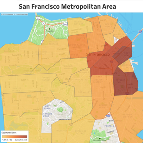
By the end of this project, you will create, clean, explore and analyze San Francisco’s building permit public data. We will use OpenStreetMap API to find the geo-coordinates of buildings using R and RStudio and we will analyze the final results in Tableau. You will learn basic data cleaning techniques using R, create a function to make requests to the OpenStreeMaps API and leverage Tableau to generate insights.
Note: This course works best for learners who are based in the North America region. We're currently working on providing the same experience in other regions.
Specific details
Category of Education
Computer Sciense and IT


 How to resolve AdBlock issue?

Comments (0)